Platform for data analysis and visualization (subscription needed).

Online courses and classes available on single subscription, free via LinkedIn or through university subscription. Courses are on software development, computer languages, analysis, design, computer vision, photography, etc. with introductions from beginners to professional training. By subscription.
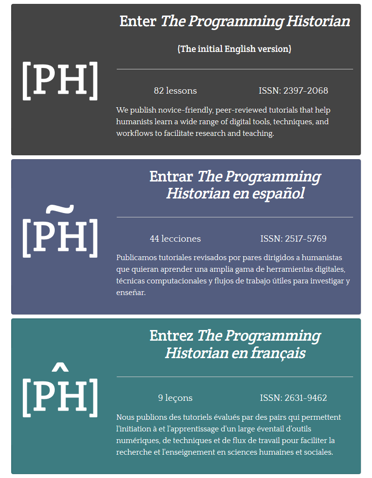
Peer-reviewed tutorials that help humanists learn a wide range of digital tools, techniques, and workflows to facilitate research and teaching.
Archive of Early American Images
A database of graphic representations of the colonial Americas, from Hudson Bay to Tierra del Fuego, drawn entirely from primary sources printed or created between 1492 and ca. 1825.
A massive repository of music manuscripts from the medieval era to about 1550. Free registration grants you access to images and research metadata for thousands of music manuscripts, as well as additional scholarly resources and editions of music.
ARCHITECTURA: Architecture, texte et images XVI-XVII siècles
Digital library of French architecture books from the sixteenth to seventeenth centuries. The site includes a comprehensive catalogue of early modern architectural texts (including all of the editions!) with biographies of the authors, summaries of their works, and links to digital full texts. This is invaluable for the field.
Iter, The Online Interdisciplinary Gateway to Renaissance Studies
Iter, meaning a journey or a path in Latin, is a not-for-profit research project with partners in Toronto, Canada (the headquarters), and Tempe, Arizona. Iter was created for the advancement of learning in the study and teaching of the Middle Ages and Renaissance (400–1700) through the development of online resources. Mainly by subscription though some resources are freely available.
The historical mapping project DECIMA uses an ArcGIS framework to allow for spatial analysis of social and economic data from early modern Florence. Using Florentine census data from the sixteenth and seventeenth centuries and Stefano Buonsignori’s 1584 map of Florence, the DECIMA project permits the user to explore historical Florence in unique ways. The mapping tool facilitates research by allowing users to query the database, generate charts, bookmark places on the map, as well as print and export results.
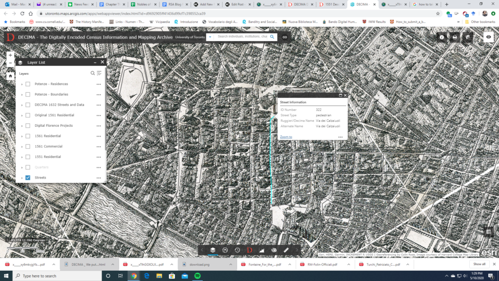
A useful glossary and typology for the data classification in the database is provided to aid with research. Several other useful features of the website include a how-to guide and case studies of pedagogical as well as research usage of the tool. An accompanying volume has been published with articles highlighting the development of the tool and case studies showing how scholars have used it in their work. A bibliography on the website directs the user to further resources.
The project provides a model for a large scale historical GIS project and shows the exciting potential for this method of research. In particular, the interface is user-friendly for both beginners and specialized researchers unfamiliar with GIS or early modern Florence. Several features of the website stand out: the data query tool in particular makes it easy to apply and compare different types of data.

A search function also allows for specialized queries of individuals, institutions, churches, etc. The zoom tool also allows the user to look at a bird-eye overview as well as drill down to the street level. One can map, for example, the location of prostitutes and their living quarters by street. The Buonsignori map opens a fascinating window into the historical landscape and combined with the census data, DECIMA takes advantages of the affordances of GIS to paint a rich picture of early modern Florence.
Topic: Literature
Description: A searchable online database containing bio-bibliographical information on Italian Women Writers.

A database of 38,000+ links to freely accessible electronic texts and digitized photographic reproductions of Neo-Latin works, dating from late fifteenth century to present, organized by author/commentator and title. Searchable