

A growing digital archive of historical maps which contains over 8000 images from Italian archives, including Siena, Florence, Pisa, Lucca, and Livorno.
A growing digital archive of historical maps which contains over 8000 images from Italian archives, including Siena, Florence, Pisa, Lucca, and Livorno.

In 1545, the German mathematician and cartographer Caspar Vopel (1511-1561) designed a famous and influential map of the world, A New Complete and Universal Description of the Whole World, that depicts Asia and America overlapping on the same landmass. Using an interactive, high-definition interface, Amerasia explores the map’s content. Blue pins indicate translated cartouches, pink pins offer short entries on sites with particular Amerasian significance, and yellow pins offer extended essays on Amerasian themes.
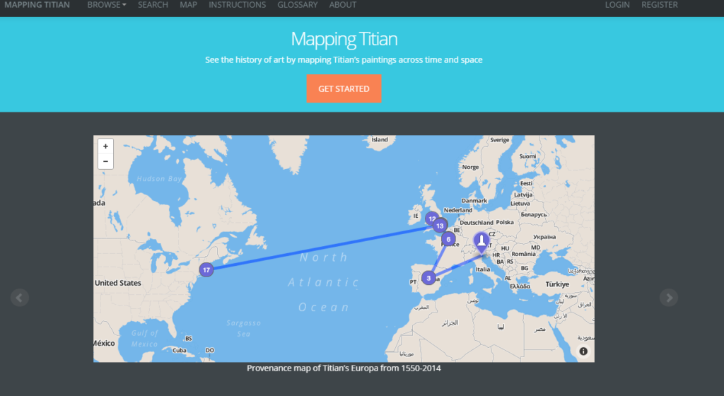
Mapping Titian allows users to visualize one of the most fundamental concerns of the discipline of Art History: the interrelationship between an artwork and its changing historical context. Focusing on the paintings executed by the Venetian Renaissance artist, Titian (ca. 1488-1576), this site offers a searchable provenance index of his attributed pictures and allows users to create customizable collections of paintings and customizable maps that show the movement of the pictures over time and space with the application of various filters.
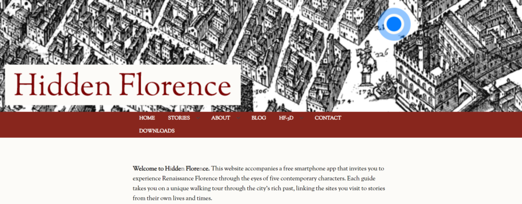
Website and free geolocated walking tour audio app for iPhone and Android keyed to the social and cultural history of Florence designed for wide user base and age group. With the app, the user navigates Florence toggling between a modern and a superbly detailed sixteenth-century map. On the website, users can read about each guide and the places they go (‘Stories’), discover more about the project team (‘About’), and find out how the characters were designed (‘Blog’).
Guide characters are:
Cosimo: Master of Florence, 1459
First citizen or godfather? Cosimo de’ Medici takes you through the city he’s spent a lifetime trying to make his own.
Giovanni: Neighbourhood World/People and Politics, 1490
Discover local worlds and get a different perspective on the heart of Florence as Giovanni, a wool worker, walks you through a day in his life.
Niccolosa: Saints and Sinners, 1492
Explore Florence’s sacred foundations with Niccolosa Alessandri as the city faces an uncertain future after the death of Lorenzo the Magnificent.
Marietta: City of Women, 1561
Join Marietta as she traces her journey from the city orphanage to life as a silk weaver.
Ercole: Crime and Punishment, 1566
From the torture chamber to the gallows, Ercole shows you how justice was done in the Renaissance city.
The app and website have been written by an international team of researchers and is a collaboration between the universities of Exeter, Cambridge and Toronto, with project partners at the National Gallery (London), Polo Museale della Toscana and Firenze Patrimonio Mondiale (UNESCO).
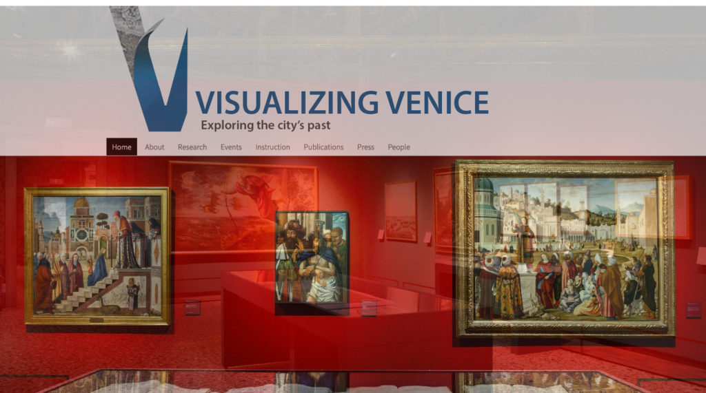
A resarch collective whose aim is to generate DH models and maps of Venice, its territories, and the lagoon in order to depict the city’s transformation over time using archival and printed sources with a particular focus on 3D models.

The Jewish History Program has recently launched the Ghetto Mapping Project, a research project whose aim is to reconstruct the economic and social fabric of the Florentine ghetto, the third oldest ghetto in the world. Grand Duke Cosimo I established the ghetto of Florence in 1570, near the area of Mercato Vecchio, in the very center of the Tuscan capital. While officially erected to gather all the Jews of the Grand Duchy under the aegis of Counter-Reformational tenets, the ghetto of Florence was in fact a product of a very well planned, private real-estate investment of the Medici family.
The Ghetto Mapping Project consists of three main parts:
1. The virtual reconstruction of all the spaces in ghetto, from its foundation in 1570 to its demolition in 1888. This will be executed by elaborating and combining together into a 3D model, architectural information gleaned from detailed and comparative surveys of the ghetto drafted for the Medici. In addition to this data, this project will also incorporate archival documents, paintings, watercolors, and archaeological surveys from other Florentine collections. The ghetto is probably the most documented neighborhood of Florence. As such, this study will provide invaluable information to scholars working on any field related to the humanities. Moreover, as one of the first examples of a planned, semi-public housing project in modern Europe, this digital initiative will also be of primary importance to architects, urban planners, and sociologists.
2. Ghetto economy. The ghetto was a Medici property. Therefore, the entire complex, its inhabitants, and anything housed within its premises was carefully described and recorded by Medici functionaries. From an archival and documentary standpoint, the ghetto was one of the most heavily controlled areas of the city. Despite the incredible wealth of available archival sources, the ghetto has ever been studied with specific economic-financial perspective. Medici administration produced, over a period of circa two centuries, hundreds of volumes pertaining to the ghetto, which provide us with an unprecedented quantity of economic and financial information.
3. Demography and history. Along with architectural and economic information, Medici documents offer one of the richest, most exhaustive, and chronologically most extended set of Jewish demographic data. This corpus of archival material will allow us not only to determine precisely how many Jews lived in the ghetto in any specific period of its history, but also to trace family ties and outline genealogical trees.
Digital Collections for the Classroom: Maps and the Beginnings of Colonial North America
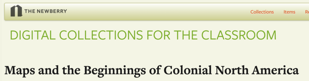
Website presenting maps of North America from the 16th to 19th centuries, including primary-source documents from the Newberry Library collection.
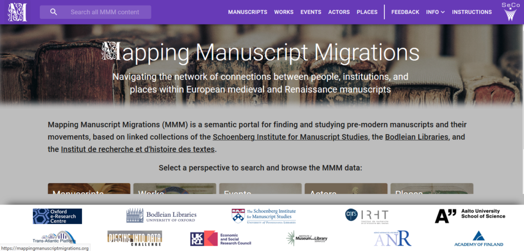
Mapping Manuscript Migrations (MMM) allows users to find and study medieval and Renaissance manuscripts and their movements and navigate the network of connections between people, institutions, and places associated with these manuscripts.
Map of Early Modern London (MoEML)
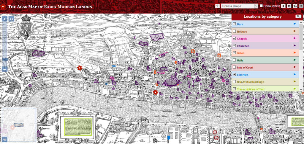
The Map of Early Modern London includes four interoperable projects: a digital edition of the 1561 Agas woodcut map of London; an Encyclopedia and Descriptive Gazetteer of London people, places, topics, and terms; a Library of marked-up texts rich in London toponyms; and a versioned edition of John Stow’s Survey of London.
Travels of the Lute: A Digital Humanities Resource for Teaching and Learning World History
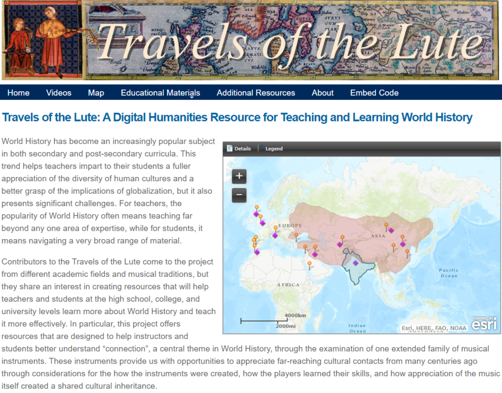
This website provides teaching and learning resources for the study of medieval and early modern world history at the elementary and secondary levels. Hosted by the University of Toronto Library and freely available to all, it features a series of videos in which players of the oud, lute, and sarod perform music and discuss the histories of their instruments; an interactive GIS mapping tool; teaching materials for a range of courses and levels; and links to additional resources.